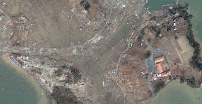
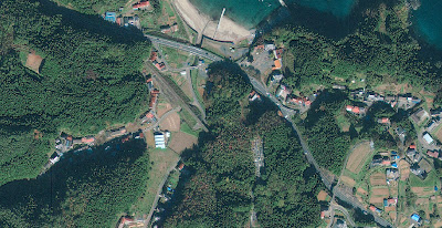
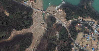
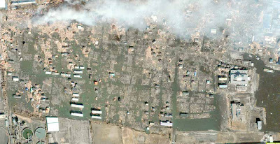
The complete collection (while this time) satellite pictures Japanese territory before and after the tsunami disaster. Satellite images cover an area along the coast of Japan which was hit by a tsunami like Arahama, Iwaki, Yuriage, and others.
Part 1
Source image is GeoEye and DigitalGlobe
North of Sendai
 |
| 001a - Before |
 |
| 001b - After |
 |
| 002a - Before |
 |
| 002b - After |
 |
| 003a - Before |
 |
| 003b - After |
 |
| 004a - Before |
 |
| 004b - After |
 |
| 005a - Before |
 |
| 005b - After |
 |
| 006 - Before |
 |
| 006b - After |
